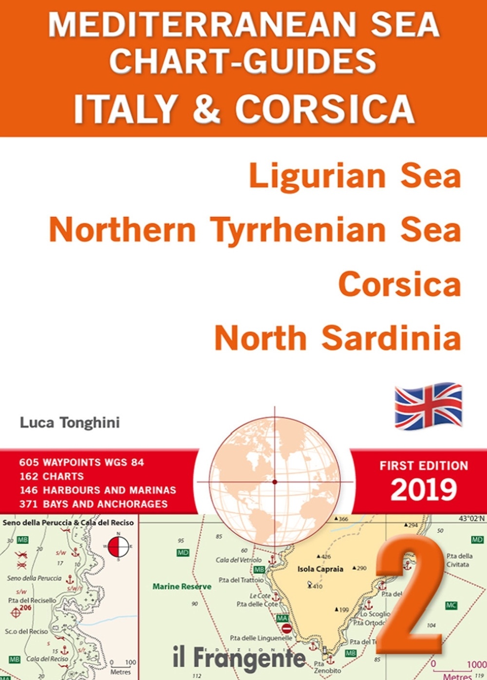
Mediterranean Sea Chart-Guides Italy & Corsica 2 "Ligurian Sea, Northern Tyrrhenian Sea, Corsica, North Sardinia"
Tonghini, Luca
Formato papel
[En stock. Entrega en 24 / 48 horas]
PVP. 51,00€


Mediterranean Sea Chart-Guides Italy & Corsica 2 "Ligurian Sea, Northern Tyrrhenian Sea, Corsica, North Sardinia"
Tonghini, Luca

FICHA TÉCNICA
- Editorial: Edizioni Il Frangente
- ISBN: 978-88-85719-70-5
- Fecha de edición: 2019
- Idioma: Inglés
- Encuadernación: Rústica
- Dimensiones:
0 cm x 30 cm
- Nº páginas: 216
- Materias: Derroteros y guías náuticas / Derroteros del Mediterráneo en general /
A pilot is a fundamental companion to nautical charts and contains all the information that a yachtsman needs, but cannot be included on the charts themselves.
This guide and its 162 user-friendly charts show all of the availableharbours, marinas and anchorages within this navigation area.The introduction includes a table with distances and the main routes,a list of printed and digital charts, as well as local weather information.
The entire area is divided into six macro-zones. Each one has itsown quick guide that includes waypoints, harbour and marina facilities,plus the main features of local anchorages (e.g. nature of the seabed,shelter, facilities ashore). At a glance, you will be able to decide whereto head based on your yacht and the weather.
Each chart has an icon that shows the harbour or bay position within the navigation area. This way you will always know exactly where you are. This guide also comprises 146 plans for harbours and marinas, and 371 plans for bays and anchorages, each with a wealth ofpractical symbols and overviews providing complementary information so that you can sail with peace of mind. A handy wind-rose icon giveswind direction and exposure for each plan.
In stock
Formato papel
[En stock. Entrega en 24 / 48 horas]
PVP. 51,00€
Otros libros de Tonghini, Luca
-
[En stock. Entrega en 24 / 48 horas]
PVP. 51,00€
-
[Sin existencias. Plazo de entrega breve]
PVP. 50,00€
-
[En stock. Entrega en 24 / 48 horas]
PVP. 48,00€
-
[En stock. Entrega en 24 / 48 horas]
PVP. 48,00€
-
[En stock. Entrega en 24 / 48 horas]
PVP. 54,00€

Libros Recomendados
-
[Sin existencias. Plazo de entrega breve]
PVP. 24,00€